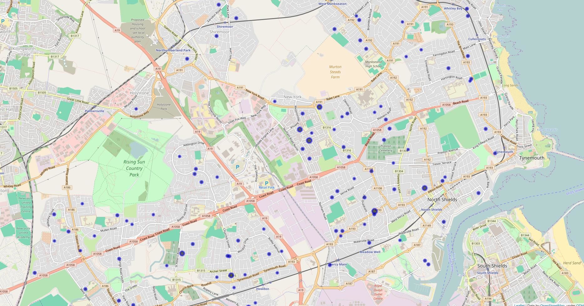
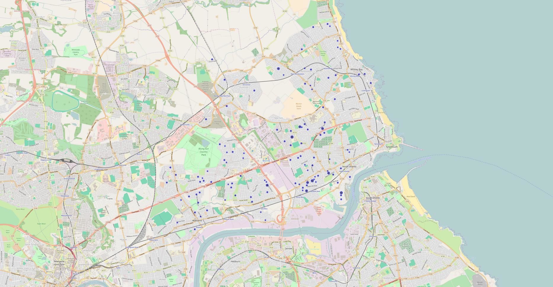
Folium is a Python package used to create data visualisations of spatial data. I've noticed an issue with the way Google Chrome renders the Folium maps. The resolution is not always consistent for two indentical base maps that have slightly different points ploted on them. For example, the two maps below were created using exactly the same setings. The only difference being that the data points plotted are different. You can see that Chrome has given each map a different initial zoom and the text size can even be different on the two maps. However rendering in Firefox causes no such problems. I've no idea why this is, but in case you run into issues, try a different browser and see whether that fixes it.
 |
 |
Comments